- Home Home
-
Residents
Residents
- Waste & recycling Bins, clean-ups and disposing of tricky household items
- Parking Permits, car parks, maps and safety
- Your trees, plants & garden Tree care and maintenance on private property
- Neighbourhood issues Report and resolve common issues
- Pets Dog and cat ownership, lost animals and off-leash parks
- Precinct committees Your local connection to Council
- Waverley LGA Maps Maps of the environment, planning zones and more
- Payments Pay for rates, certificates, permits and licences
-
Community
Community
- Over 55s Services and programs for people over 55
- Children, youth & family services Child care, youth programs, kids activities and events,...
- Cultural diversity Cultural diversity policy, services including interpret...
- Disability inclusion Services and support for people with a disability
- Housing & homelessness Affordable Housing Program, homelessness and support
- Volunteering & Neighbourhood Projects Connecting locals with community projects
- Awards & Grants Apply for a community grant, financial support for comm...
- Community Profile Waverley Demographic Profile and Social Atlas
-
Business
Business
- Resources for Business Events, grants and support
- Innovation Roadmap 2025 to support business
- Tourism Home to Australia's most famous beach.
- Sponsorship Support local events
- Procurement Submitting tenders & expressions of interest to Council
- Commercial waste & recycling services Tailored waste services for business
- Mobile vending Waverley has limited mobile vending licenses
- Hello Bondi Council’s website to help visitors enjoy their stay
-
Recreation
Recreation
- Events Find out what’s on in your area. This is your guide to ...
- Places of interest Places of interest in Waverley, including local walks
- Visitors Information for visitors to the Waverley area, getting ...
- Beaches & coast Information on our beaches and coastline, Bondi, Tamara...
- Parks Parks and open spaces around Waverley, playgrounds, use...
- Arts & culture Arts programs, Artist in Residence, Waverley Art Prize,...
- Sports fields & outdoor court Sports venues and facilities, use of public open space
- Venue hire Information on Council owned and managed venues for hir...
-
Environment
Environment
- Council leadership on environmental action Research, strategies and Council programs
- Climate resilience and reducing emissions Switch to electric, go solar and grants for apartments
- Water and the coast Keep beaches clean, save water and enjoy the sea
- Towards zero waste Reduce waste at home and at work
- Public tree management & urban greening Street Tree Masterplan and planting zones
- Native vegetation and animal habitat Join Bushcare and enjoy Waverley’s natural spaces
- Transport Council policy, bike and car share, electric vehicles
- Second Nature Council’s environmental news and events hub
-
Planning & Development
Planning & Development
- Development Applications The DA process, key documents & community consultation
- DA Tracking Tool Search a Development Application by number or date
- Application forms & certificates Includes Construction and Occupation Certificates
- Waverley Local Planning Panel (WLPP) DA determination panel
- Compliance & regulations Including fire safety, flood, waste and health
- Heritage & design Conservation Areas, Design Excellence and Awards
- Strategic Urban Planning Urban and Environment Strategies, Planning Proposals
- Major projects Council-delivered building, streets and parks
-
Council
Council
- Organisation structure Information on how Council delivers services, organisat...
- Mayor & councillors Your Mayor, Councillors, wards and contact details
- Council & committee meetings Dates, agendas and minutes of meetings of Council
- Advisory committees Advisory Committees of Council
- Policies, procedures & plans Key operational and strategic plans of Council, reports
- Jobs Careers, current vacancies, working for Waverley Counci...
- Access to information Gaining access to publicly available information, acces...
- Payments Pay for rates, certificates, permits and licences
- Home
- >
- Bondi Junction: Heartbeat of the East
- >
- West Oxford Street Precinct Plan
- Archived PDFs
- (( Community Safety Advisory Committee ))
- Repair & Maintenance Work at Waverley Cemetery
- Free home energy helpline
- Waverley Cliff Walk
-
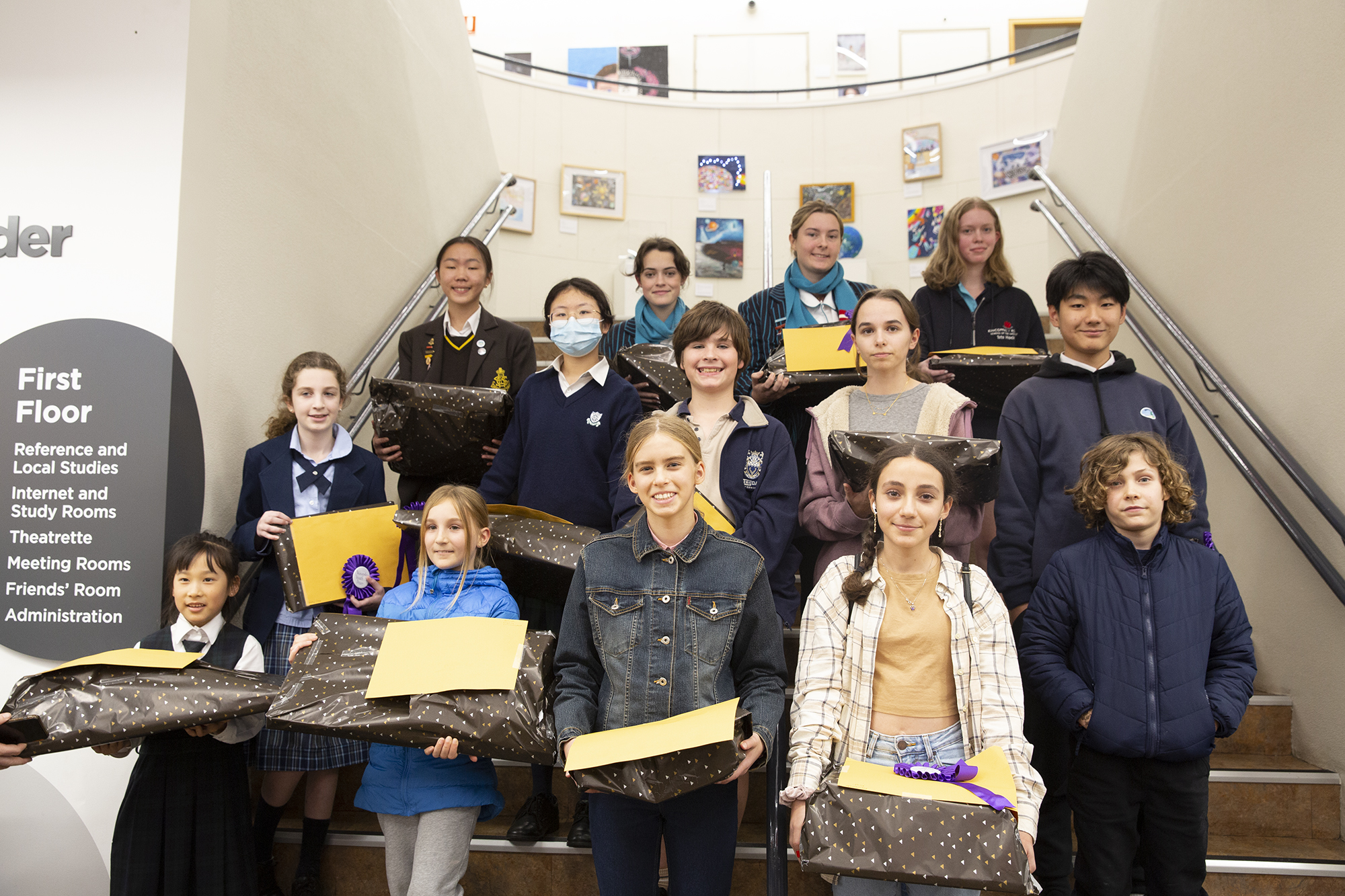
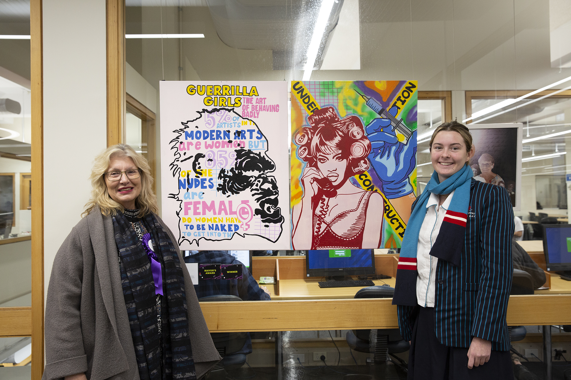
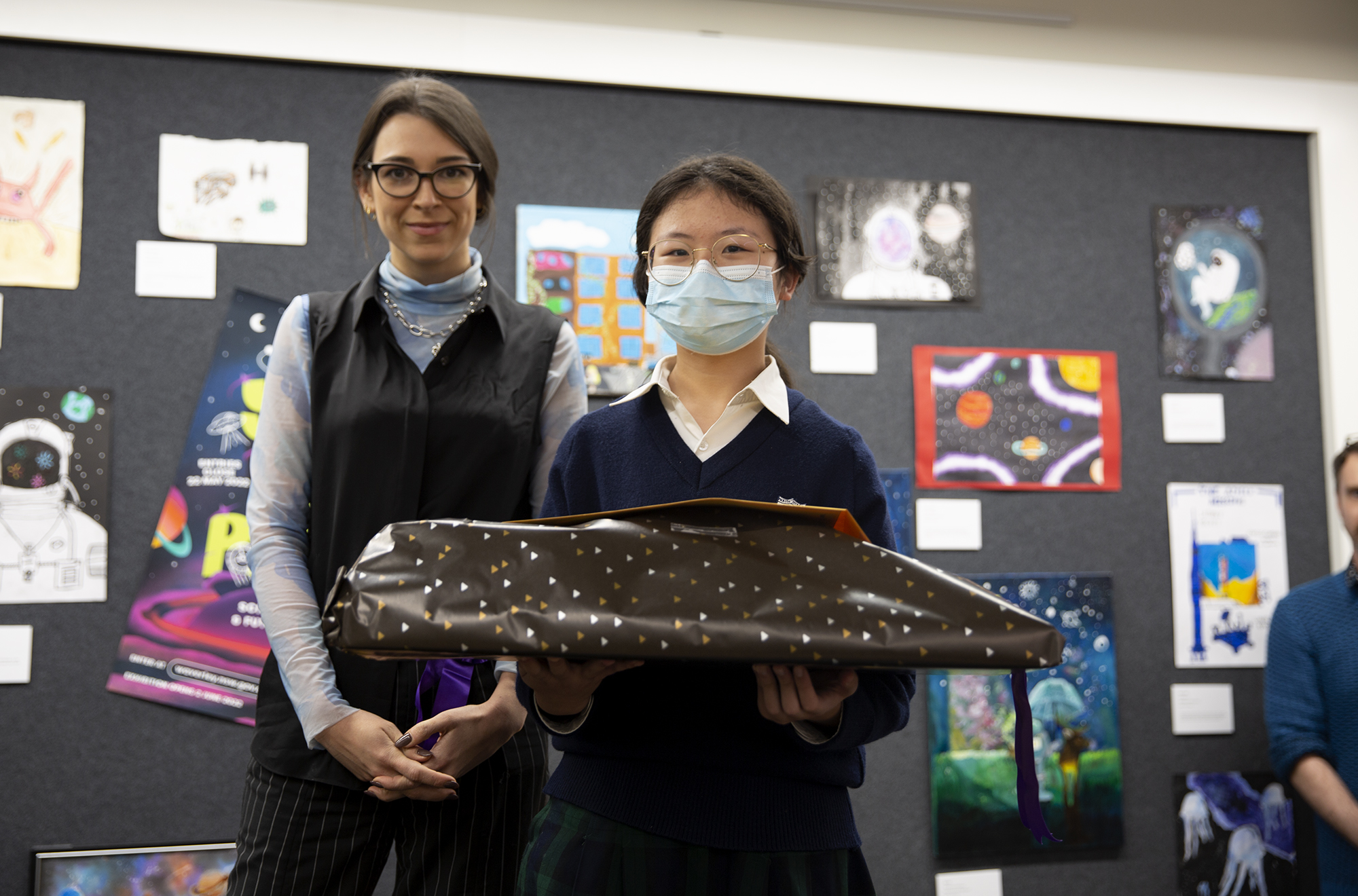
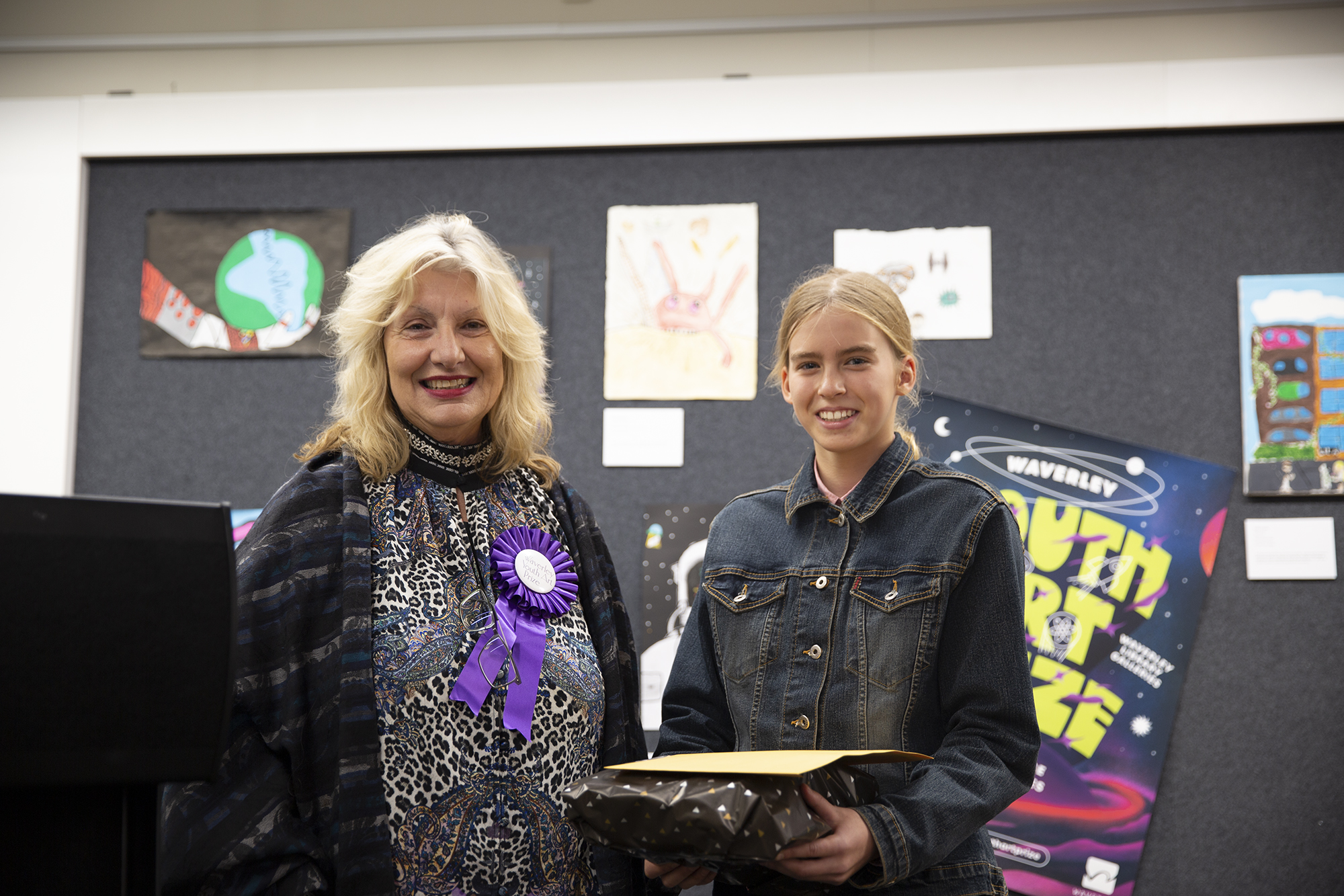
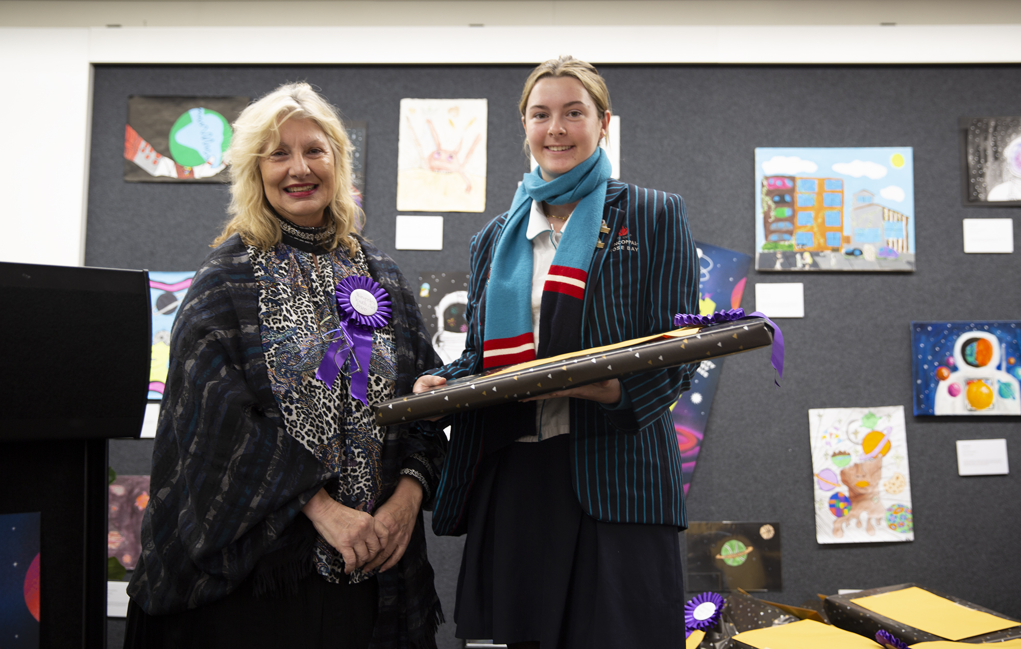
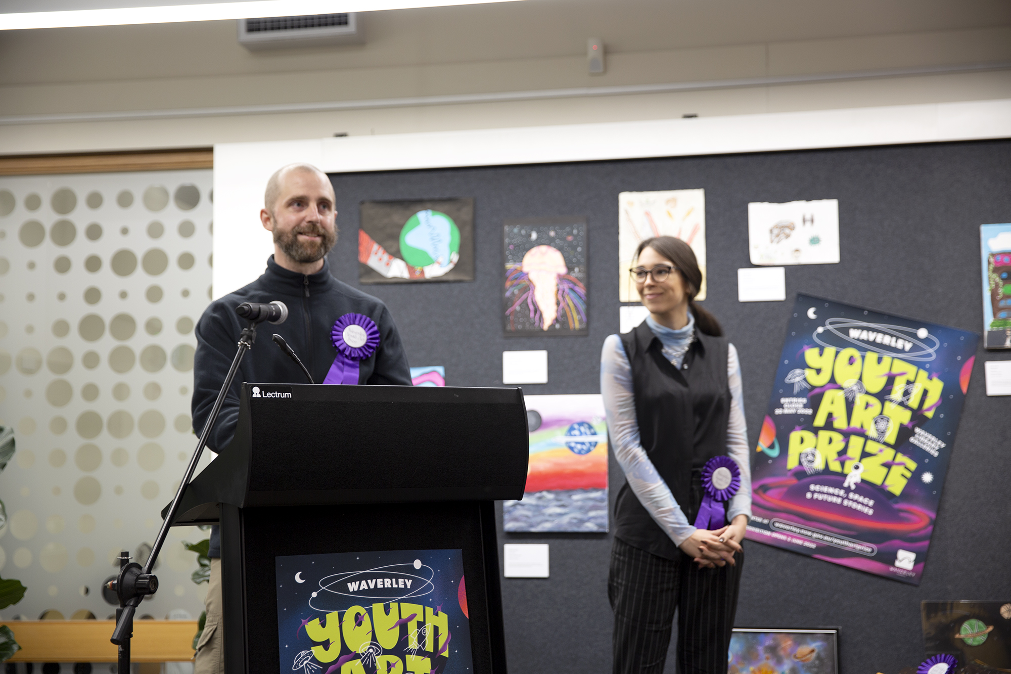
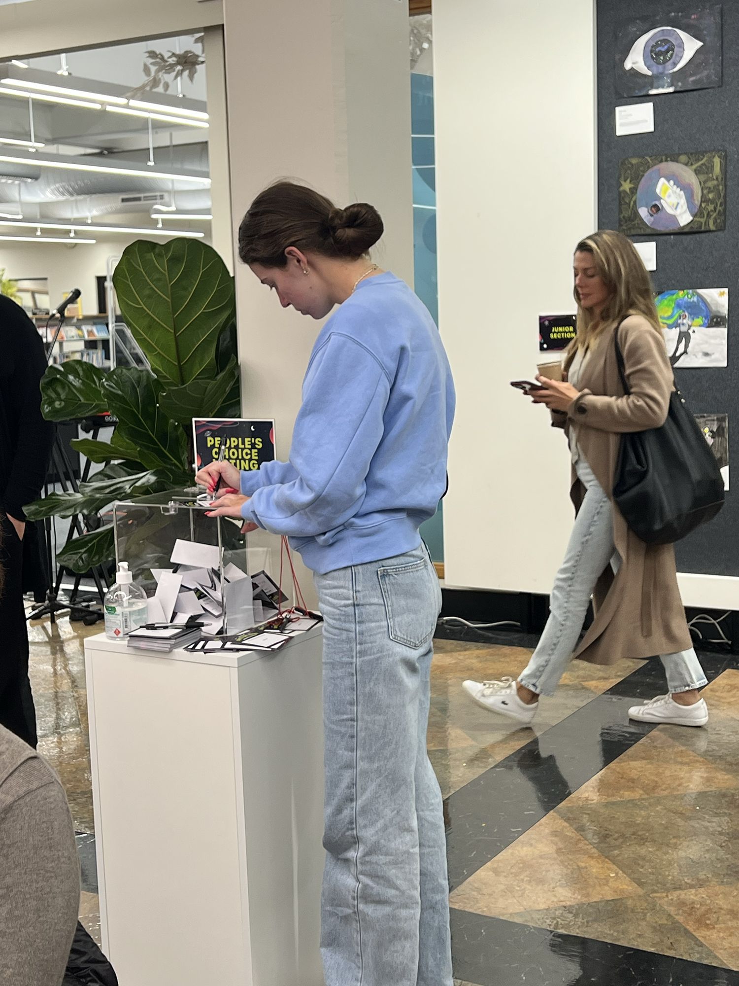
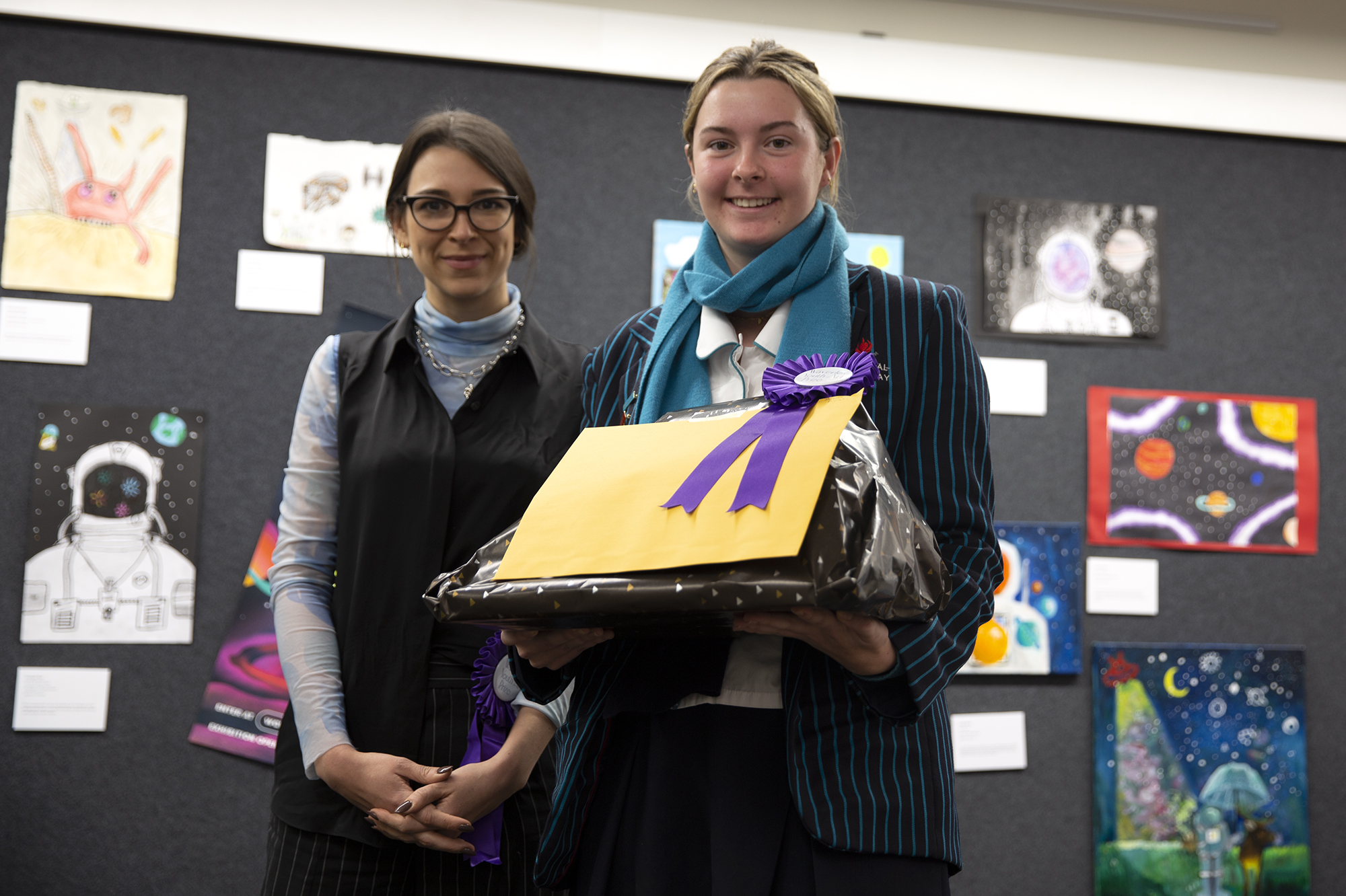
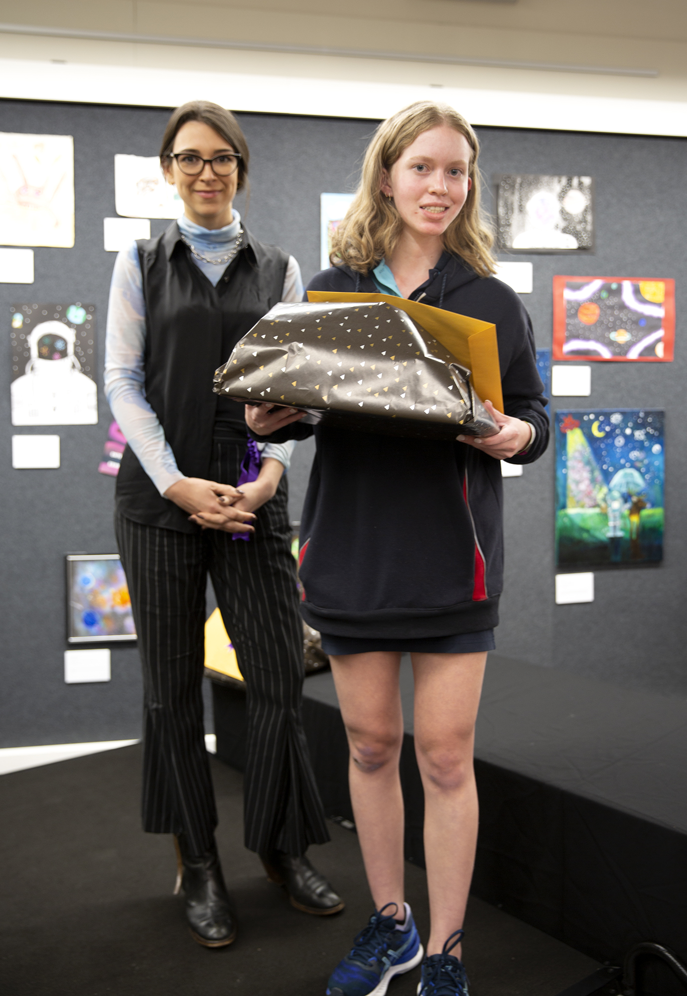
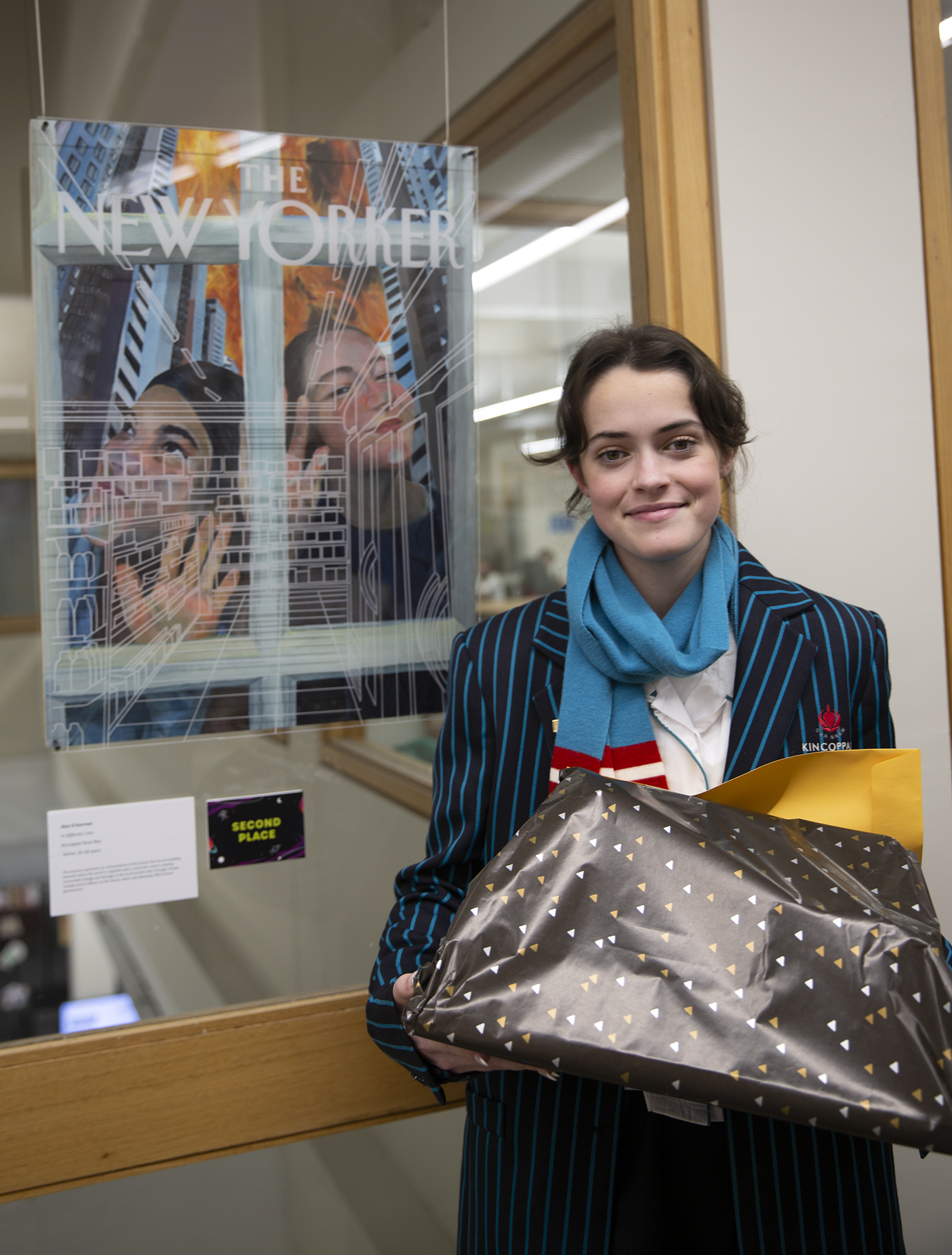
YAP 2022
- yap-all_winners.jpg
- mayor_with_charlotte_jurcich.jpg
- yap_22_-_first_place_junio_Jaiyi_Wu.jpg
- yap22-Intermediate_winner_-_celest_Ferreira.jpg
- Yap22-Mayors_highly_commended-Kathryn_Jordan.jpg
- Yap22-Mayors_Prize_-_Charlotte_Juracich.jpg
- yap22-judges.jpg
- yap22-voting.jpg
- Yap_22_-Lili_Alaska.jpg
- yap_22-senior_winner_-_charlotte_juracich.jpg
- yap22_-_niamh_bookallil.jpg
- yap22-alex_ogorman_2.jpg
- Image 3x15
- Blue_Bin.jpg
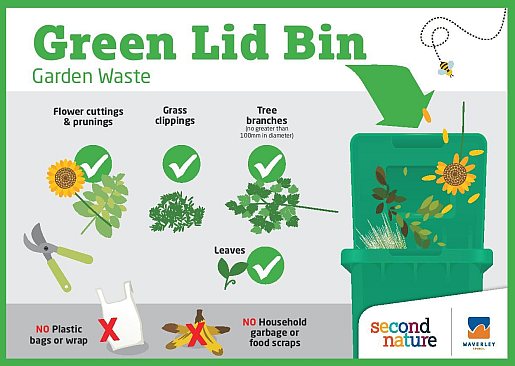
- Greeb_Lid_Bin.jpg
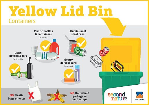
- Yellow_Lid_Bin.jpg
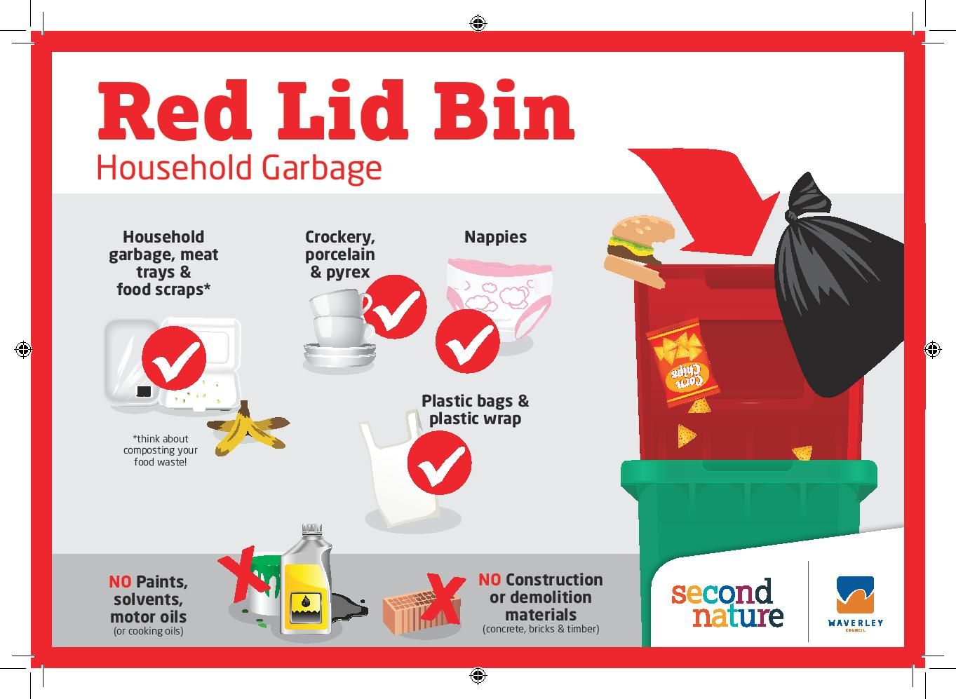
- Red_Lid_Bin_Sticker_p-page-001.jpg
- Waverley local heroes of the year 2016
- Waverley local heroes of the year 2015
- Waverley local heroes of the year 2014
- Waverley local heroes of the year 2013
- Waverley local heroes of the year 2012
- 2017 Brightest & Best Business Awards
- 2016 Brightest & Best Awards
- 2015 Brightest & Best Awards
- 2014 Brightest & Best Business Awards
- 2013 Brightest & Best Business Awards
- 2018 Brightest & Best Business Awards
- Past winners
- Coastal walk stats icons
- Spendmapp.jpg
-
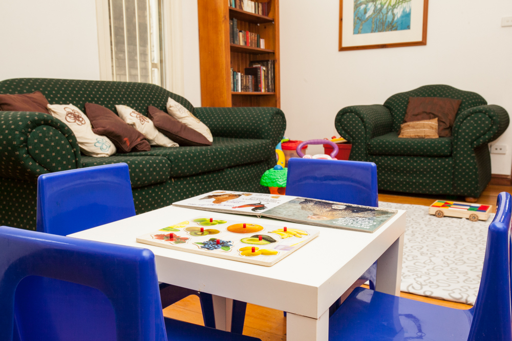
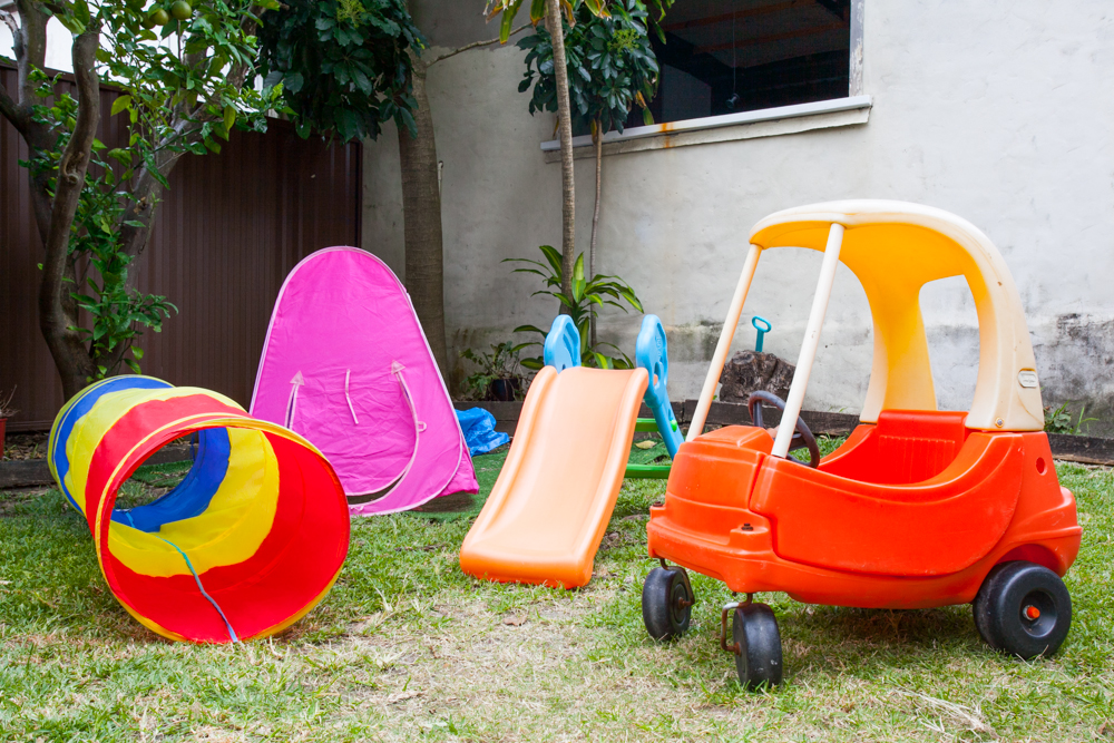
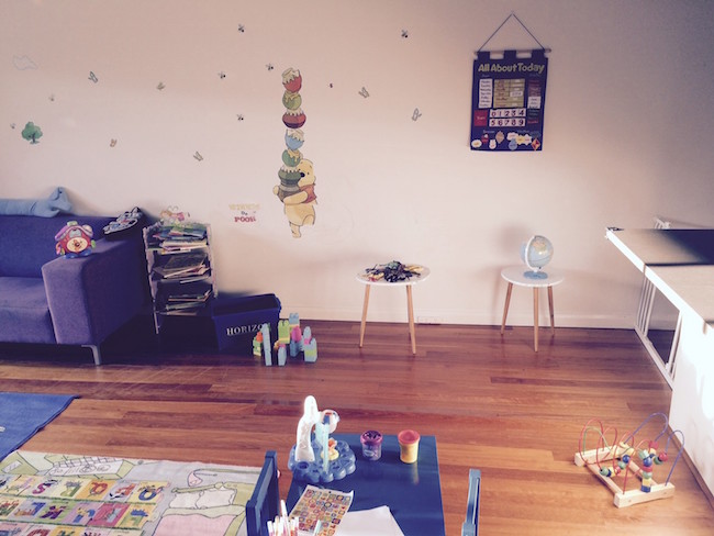
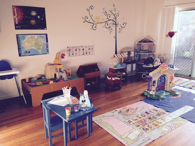
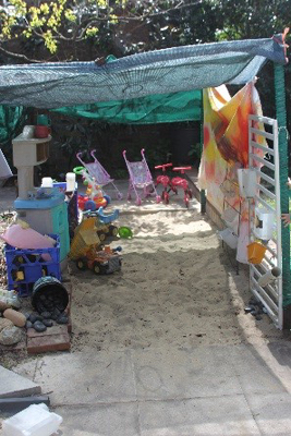
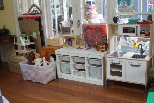
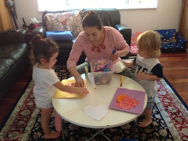
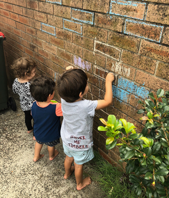
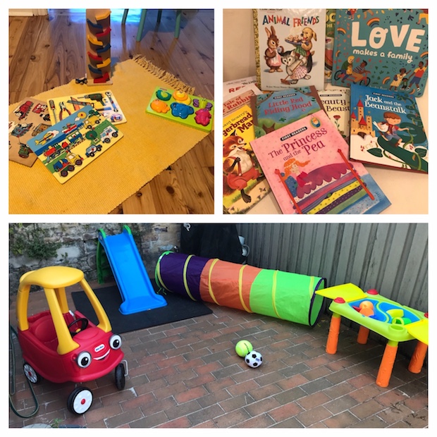
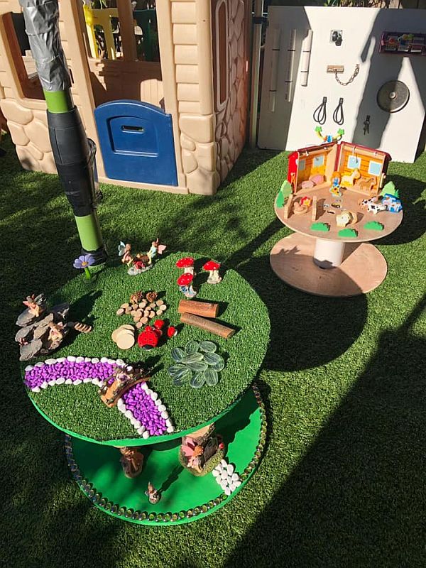
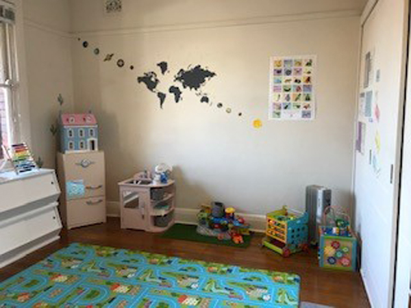
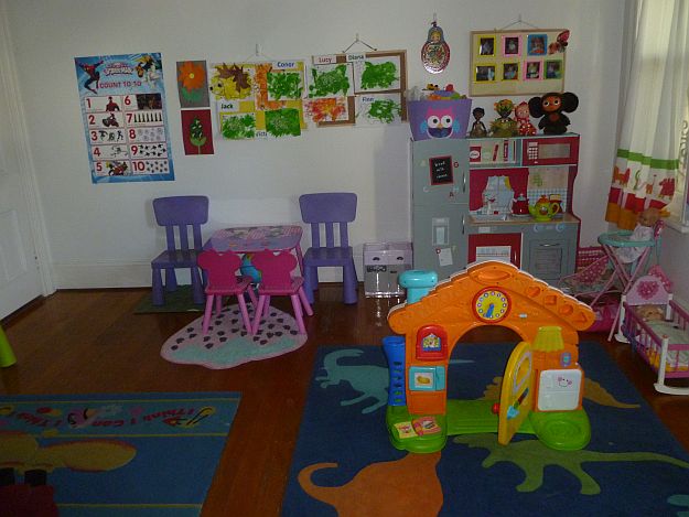
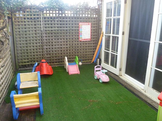
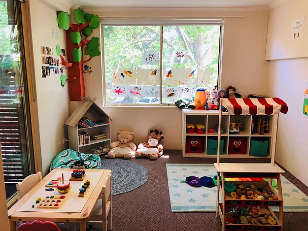
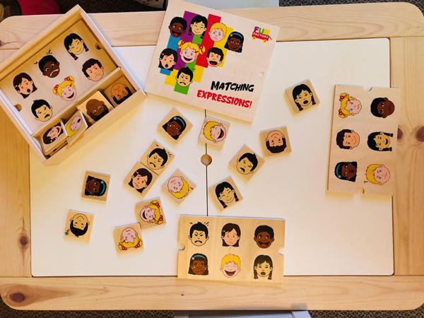
Educators galleries
- IMG_5972.jpg
- IMG_5940.jpg
- IMG_5950.jpg
- IMG_5955.jpg
- IMG_5958.jpg
- IMG_5964.jpg
- Luciana5.jpg
- Luciana1.jpg
- Luciana2.jpg
- Luciana3.jpg
- Luciana4.jpg
- anthea_2.jpg
- Mana_Photo_for_Profile.jpg
- Mana_environment.jpg
- mel.jpg
- becca1.jpg
- becca2.jpg
- becca3.jpg
- bex.jpg
- jasmine.jpg
- jaz_kids.png
- jaz_kids2.png
- jess.jpg
- jess1.jpg
- jessica_environment2.jpg
- jess3.png
- jo.jpg
- jo1.jpg
- jo2.jpg
- jo3.jpg
- jun1.jpg
- jun2.jpg
- junko.jpg
- kathleens.jpg
- Lani.jpg
- lani1.jpg
- lani2.jpg
- lani3.jpg
- Meena2.jpg
- IMG-7198.JPG
- meire.PNG
- rebecca_l.png
- roselle_2.jpg
- tal1.jpg
- tal2.jpg
- talya.jpg
- zizi.jpg
- zizi1.jpg
- zizi2.jpg
- jaz_kids.jpg
- jaz_kids2.jpg
- jess2.jpg
- jess3.jpg
- meena.jpg
- meire.jpg
- Image_2.JPG
- Image_3.JPG
- kathe.jpg
- kk.jpg
- mana_envornment_3.jpg
- Mana_environment_2.jpg
- elodie_envion.jpg
- elodie_envor.jpg
- elodie_envornment.jpg
- elodie.jpg
- IMG-7196.JPG
- P1200714.JPG
- P1200718.JPG
- P1200719.JPG
- 3.jpg
- eliana_e4.jpg
- eliana2.jpg
- ruth_colour.jpg
- suehouse.JPG
- 2016-01-27_004_2.jpg
- 2015-02-10_024.jpg
- lisa.JPG
- IMG_3082_-_Copy.jpg
- IMG_6848.jpg
- IMG_6849_-_Copy_-_Copy.jpg
- 2016-01-28_013.jpg
- 2016-12-20_001.jpg
- 2017-03-14_026.jpg
- 2017-04-12_014.jpg
- 2017-05-22_003.jpg
- backdeck.jpg
- IMG_6072.jpg
- IMG_6499.jpg
- playroom1.jpg
- angelika.jpg
- ang_kids.jpg
- Anjelika_Denissova_pic.jpg
- Ericamartins.jpg
- Gabriella.jpg
- Jasmine_Harrington.jpg
- Jo_Guyatt.jpg
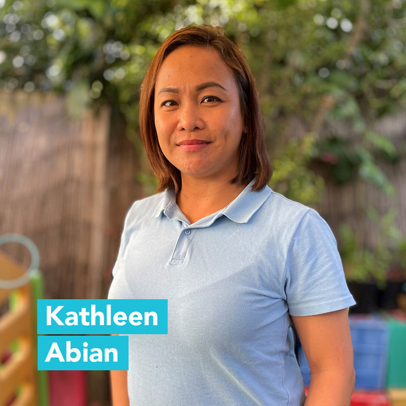
- Kathleen_Abian.jpg
- Mariana_Pinheiro.jpg
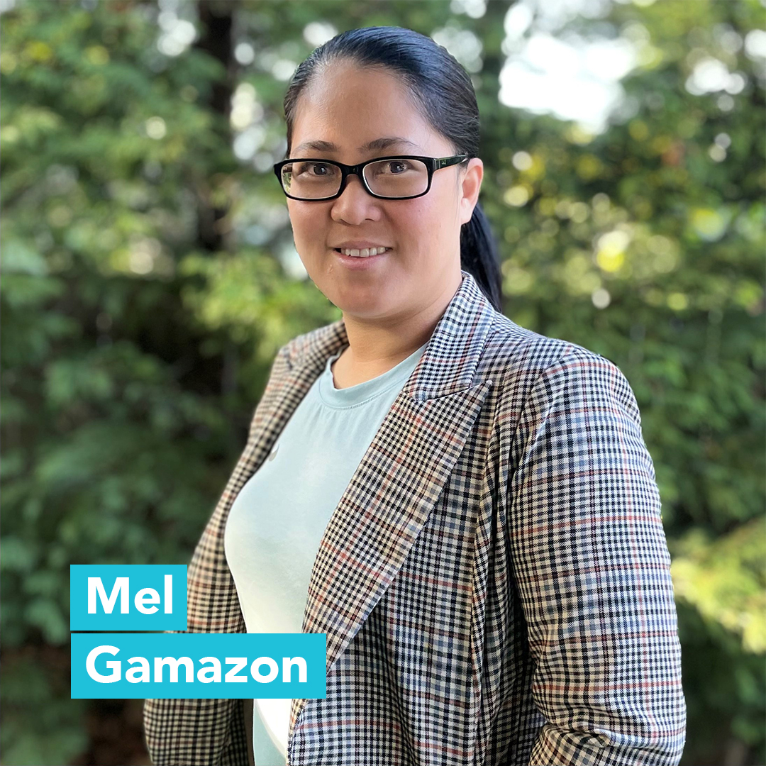
- melgamazon.jpg
- Nicoletta.jpg
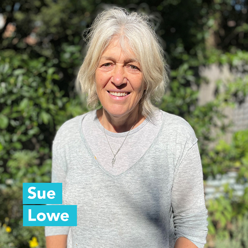
- Sue_Lowe.jpg
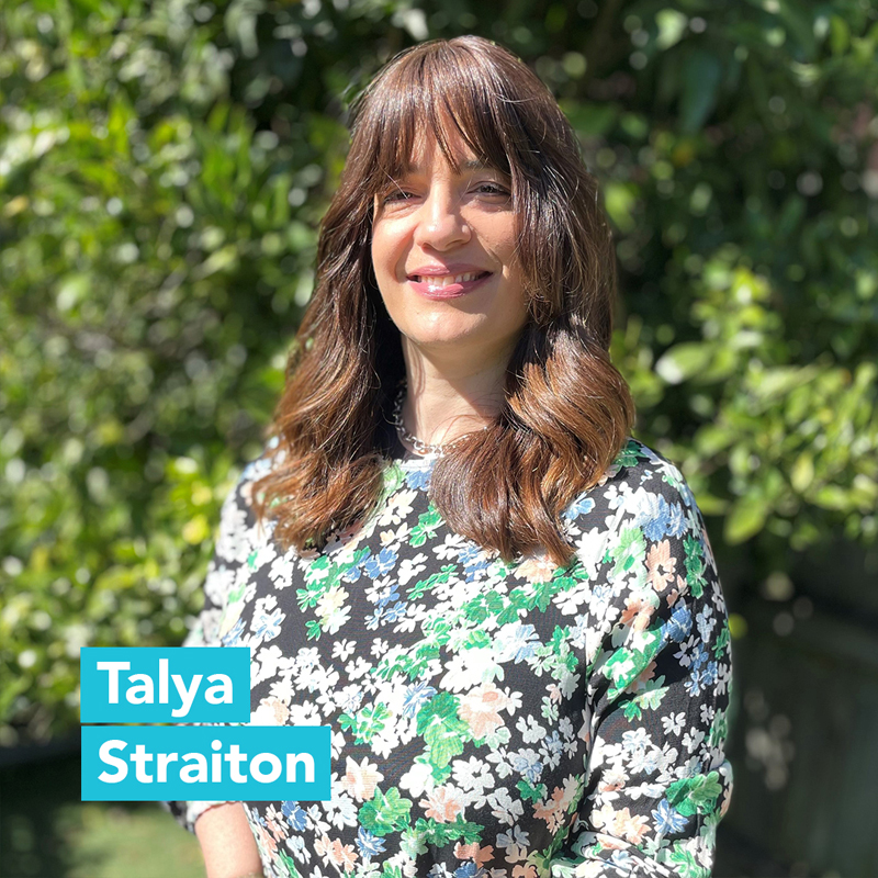
- Talya_Straiton.jpg
- IMG_0417.jpg
- IMG_0394.jpg
- IMG_0456.jpg
- ayelwet.jpg
- AyeletSinger.jpg
- AyeletSinger12.jpg
- AyeletSinger13.jpg
- Leticia_environment.jpg
- Leticia_environment2.jpg
- Leticia_envoro.jpg
- Leticiaw.jpg
- luda_e1.jpg
- luda_e2.jpg
- luda_e3.jpg
- Luda.jpg
- 2.jpg
- 1.jpg
- Waverley local heroes of the year 2018
- DCP 2012
- 2008
- 2009
- 2010
- 2011
- 2012
- Small_Grants_Community_and_Cultural_Guidelines.pdf
- (( Commercial_Fitness_Groups_Personal_Trainers_Policy_2016.pdf ))
- (( Bondi Beach Concrete Blocks Application Form ))
West Oxford Street Precinct Plan
- What is the purpose of the project?
- What is the area involved in the plan?
- What ideas are in the report?
- Next steps
- Precinct analysis
- What has Council resolved to do?
- What is the Government Architect's Office?
- Community Reference Group
- What is the timeframe?
- More information
What is the purpose of the project?
The West Oxford Street Precinct Plan is an ideas-driven investigation project focussing on the western end of Oxford Street, Bondi Junction. Council has been working with the community to develop a comprehensive strategic plan that best benefits the area, and that also considers the precinct in an holistic and strategic way. This project forms part of a broader strategic approach to planning in Bondi Junction, which the State Government has identified as one of the key sub-regional centres across Sydney, and aligns with a suite of other projects already underway in Bondi Junction, including:
- Bondi Junction Complete Streets project,
- Bondi Junction Cycleway and Streetscape upgrades,
- Bondi Junction Urban Design Review,
- Waverley Bike Plan,
- Centennial Park Master Plan,
- Investigations into possible future light rail connections.
Council is currently consulting with residents and other key stakeholders to explore what the possibilities might be for West Oxford Street and the surrounding area.
What is the area involved in the plan?
The West Oxford Street Precinct Plan will consider the area in the map below.

What ideas are in the report?
A final report for the area has been prepared in partnership with the Government Architect's Office (GAO). The report details all of the ideas for the area which were developed as part of the three design workshops in 2014 with teams of professionals and experts in the areas of urban design, landscape architecture, public art and architecture. The ideas have been pulled together into broad themes of traffic, public domain, art, culture and heritage, and built form. The final report has considered community feedback collected in late 2014 on the ideas in the draft report via submissions and a statistically valid phone survey.
The report was adopted by Council's Operations Committee at its meeting on Tuesday 31 March 2015, and included recommendations by a Council Officer on which ideas in the final report should be further investigated to see whether they're feasible.
- Council report (p.14 of the agenda)
- Attachment 1 - Community engagement report
- Attachment 2 - Survey report
- Attachment 3 - Community engagement peer review
- Attachment 4 - Summary report and recommendations
- Attachment 4A - Report appendix 1
- Attachment 4B - Report appendix 2
- Attachment 4C - Report appendix 3
- Attachment 4D - Report appendix 4
- Attachment 4E - Report appendix 5
What we've heard so far
Through a number of community feedback sessions, formal submissions on the draft report and a statistically valid phone survey in 2014, we have collected a wide range of feedback on how the community would like to see the area improved, and what ideas they believe should be pursued as part of the plan.
Feedback on the draft report
Community feedback on the ideas in the draft report was collected between September and December 2014. Council commissioned Newgate Research – an ISO accredited, independent research firm – to conduct a statistically valid survey of residents in the area during this period.
The resident survey was conducted in December 2014 among a statistically representative sample of people from the suburbs of Bondi Junction, Bondi Beach, Bronte, Waverley, Queens Park and Woollahra.
Council resolved to ask for comment on all ideas except those within Centennial Park and any suggested development on the bus depot site other than those that would improve:
- the external appearance of and access to / from the bus depot
- its integration into the surrounding locality
- the movement of pedestrians, buses, bikes and other private vehicles.
Any comments on the ideas for these sites has been collated and will be reported as part of the submissions, however these ideas will not be pursued further as part of the plan or limited to an advocacy role.
The report on the outcomes of the public exhibition period and the statistically valid survey will be presented to Council in March 2015. See the links above to access the reports.
Community feedback sessions
Summaries and a detailed report capturing the results and key themes of the public briefing, two community drop-in sessions, online surveys and intercept surveys has been received by Elton Consulting. Follow the links below to download the documents in full:
- Overall consultation outcomes - final Elton report
- Public Briefing Q&A
- West Oxford Street Precinct Plan – Consultation Outcomes Report: Phase 1
- Appendix A: Verbal feedback
- Appendix B: Display materials
- Appendix C: Survey tools
Next steps
All of the feedback and comments submitted during the public exhibition period and statistically valid survey has been collated and used to inform the final report and ideas for further testing.
We know that there is a lot of work to be done if these ideas are to be realised and funded, and delivery of any feasible ideas in the plan might occur over a long period of time.
We will continue to keep the community informed of upcoming opportunities to provide input to the project. If you would like to receive updates about the project and have not yet provided your email address to Council, please email engagement@waverley.nsw.gov.au.
Precinct analysis
Council has undertaken some analysis of the precinct and prepared a number of 3D images based on the existing LEP. Please note that these images are designed to demonstrate the current allowable heights on various sites and are not a depiction of possible built form.
No results were found
No results were found
Shadow images
The images below have been extracted from Council's 3D model of the Bondi Junction area. They model the built form ideas in the report to help you visualise what the streetscape could look like and the potential shadow impacts of any development ideas. Please remember that these images are based on maximum building envelopes only and do not reflect future built form.
No results were found
Click here to view a presentation as presented to the first meeting of the Community Reference Group, which contains a spatial analysis of the area.
What has Council resolved to do?
At its December 2013 Council meeting, Council agreed to engage the Government Architect’s Office (GAO) to assist Council staff to investigate opportunities in west Oxford Street. Click here to read the report in full (from page 272). An information report for the February 2014 Council meeting notes the commission of Elton Consulting to assist with community engagement on the development of the plan. Click here to read the report in full (from page 98) and the community engagement plan.
What is the Government Architect’s Office (GAO)?
The Government Architect’s Office (GAO) is a multi-disciplinary design office, which provides high level strategic advice to government. The Architect’s Office specialises in design review and assessment, master planning, architectural services, urban and landscape design, heritage services and indigenous design.
Community Reference Group
The Community Reference Group was formed following the Bondi Precinct Committee meeting of 18 February 2014, where interested community members suggested that one to two representatives from each street within the vicinity of the study area form a group that would meet on an ongoing basis throughout the life of the project.
Click here to view the presentation as presented to the first meeting of the Community Reference Group, which contains a spatial analysis of the area, or email the group.
The group was also invited to present to the design teams at the first design charrette. You can view the group's presentation online.
What is the timeframe?
The process to prepare a concept plan and present to Council is likely to take six months. However, implementing any change to the precinct may take some time, particularly if a change to the Land Environmental Plan (LEP) is required.
A timeline of events and engagement activities involving stakeholders, community members and Councillors has been prepared. Click here to read the timeline.
More information
For more information about the West Oxford Precinct Plan project, please email westoxford@waverley.nsw.gov.au or contact our Strategic Town Planning team on 9369 8000.
- Project timeline (23KB)
- Summary report information leaflet
- West Oxford Street Design Charette: Summary Report and Recommendations (14MB)
- Appendix A
- Appendix B
- Appendix C
- Appendix D
- Appendix E
- Appendix F
- Public Briefing Presentation - 18 June 2014
- Public Briefing Q&A (126KB)
- West Oxford Street Precinct plan fact sheet (622KB)
- Hill Thalis Concept Panels (8.1MB)
- Simpson + Wilson Concept Panels (8.4MB)
- Archrival Concept Panels (12.4MB)
- Consultation Outcomes Report: Phase 1 (2.9MB)
- Appendix A: Verbal Feedback (141KB)
- Appendix B: Display Materials (4.5MB)
- Appendix C: Survey Tools (827KB)
- Community Reference Group - presentation to design charrette
- Design workshops brief (265KB)
- Community Drop-in Sessions - activity and information boards (1.2MB)
- Community engagement plan (800KB)
- Presentation to the Community Reference Group (9.5MB)
- December Council Meeting report (3.9MB)
- February Council Meeting report (1.5MB)